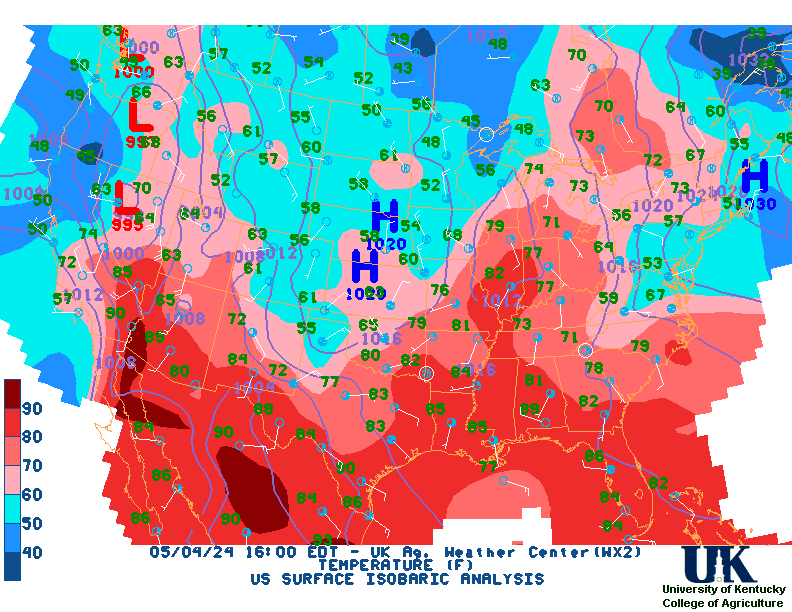
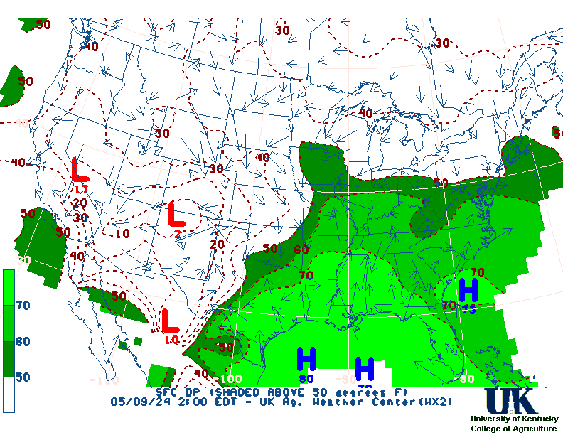
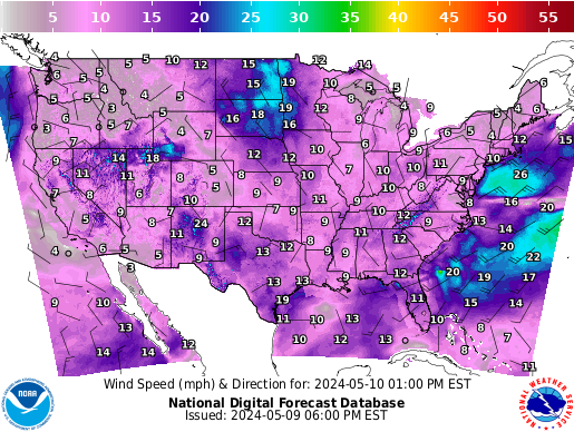
.


Thu Nov 21 14:09:34 EST 2024
Point Conception To Guadalupe Island Cape Lookout to Point St. George Southwest North Atlantic South of 31 North and West of 65 West Cape Fear to 31 N Hudson Canyon to Baltimore Canyon South of New England Georges Bank Gulf of Maine Northern Maine Southern Maine and New Hampshire Boston and Surrounding Areas New York City and Surrounding Areas Northern Vermont and New York Eastern New York and Western New England Areas South Central New York and Northeastern Pennsylvania Central  Pennsylvania New Jersey, Delaware, and Southeastern Pennsylvania Washington D.C., Central Maryland, Northern Virginia, Eastern West Virginia Eastern Virginia, Southern Maryland and Northeast North Carolina Western Virginia, Southeast West Virginia, and Northwest North Carolina Eastern North Carolina Central North Carolina - Raleigh Northeastern South Carolina and Southeastern North Carolina - Wilmington Central South Carolina Southern end of South Carolina and Eastern Georgia Northeast Florida and Southeast Georgia East Central Florida West Central Florida Southern Florida Western New York - Buffalo Western Pennsylvania, East Central Ohio and Extreme Western Maryland West Virginia Western North Carolina and Northwest South Carolina Eastern Kentucky Eastern Tennessee Northern and Central Georgia Panhandle of Florida and Southwestern Georgia Northern Ohio Southwestern Ohio Northern Kentucky Central Kentucky Central Tennessee Northern Alabama Central Alabama Mobile - Pensacola Central Indiana Northern Indiana and Northwestern Ohio Southeastern Michigan - Detroit Northeast Michigan - Gaylord Northern Michigan Northern Michigan East Central Wisconsin - Green Bay Southern and Southeastern Wisconsin Northeastern Illinois and Northwestern Indiana - Chicago Central and East Central Illinois Southwestern Wisconsin, Southeastern Minnesota, and Northeast Iowa Eastern Iowa and Northwestern Illinois - Quad Cities Eastern Missouri - West Central Illinois Southern Illinois and Indiana, Southeastern Missouri and Western Kentucky Western Tennessee, Eastern Arkansas and Northern Mississippi - Memphis Central Mississippi Southeastern Louisiana Southeast Texas and Southwest Louisiana Northern Louisiana and Eastern Texas - Shreveport Arkansas Southwestern Missouri Northwestern Missouri Central Iowa Eastern Oklahoma and Northwestern Arkansas Southeastern Kansas Northeastern Kansas Eastern Nebraska and Southwestern Iowa - Omaha Valley Southern Minnesota North  Central Kansas and South Central Nebraska Texas - Houston/Galveston Dallas and Fort Worth Central Oklahoma Central Texas - San Angelo Austin and San Antonio Texas Corpus Christi, Victoria, and Laredo Texas Southern Texas Southwestern Kansas - Dodge City Texas and Oklahoma Lubbock and South Plains Texas Western Texas and Southeastern New Mexico Northwestern Kansas and East Central Colorado - Goodland Central Nebraska - North Platte Northern and Northeastern South Dakota Southeastern Colorado Northeastern Colorado Southeastern Wyoming and Western Nebraska Western South Dakota and Northeastern Wyoming Southern New Mexico and extreme Western Texas - El Paso Northern and Central New Mexico Western Colorado and Eastern Utah Western Wyoming Southeastern Montana Southeast Arizona Northern Arizona Utah Southeastern Idaho Central  Arizona and California Deserts Southern  Nevada, Southeastern California and Northwestern Arizona - Las Vegas Northern and Northeastern Nevada Western Nevada Southwestern Idaho and Eastern Oregon South Central California North Central California Southwestern  California - San Diego Los Angeles Area San Francisco Area Northwest  California Coast Southwest Oregon and Northern California Northeast Oregon and Southeast Washington Northeast Minnesota and Northern Wisconsin Northeastern North Dakota and Northwestern Minnesota Western North Dakota Northeastern Montana Central Montana - Great Falls Western Montana and Central Idaho Eastern  Washington and Northern Idaho Northwest Oregon Northwest Washington Northwest Gulf North of 25 North and West of 90 West Middle Gulf between 85 West and 90 West East Gulf between 81 West and 85 West Hatteras Canyon to Cape Fear Baltimore Canyon to Hatteras Canyon Point Arena to Point Conception Point St. George to Point Arena Cape Flattery to Cape Lookout Florida Keys Southwestern Michigan Southeastern South Dakota, Southwestern Minnesota, and Northwestern Iowa NWS Watches and Warnings
All U.S. Watch/Warn Map click Here.
   WEST - CENTRAL - EAST - National
NWS Louisville Radar - Alt. Radar , Full View
  | | | | |
__

Overview
__


IR Satellite
__


Visible Sat.

__


Water Vapor

__


Weather
__


Surface Obs
__  
SPC
Products Overview
__

6-10 Temp

__

6-10 Precip
__

Month Temp

__

Month Precip
__

3 Month Temp

__

3 Month Precip
__  
| | | | |  
.
[Obs., Map, Rainfall Fcst., 5 Day Tot., Rainfall Est., US Rainfall Est., AHPS, Snow, Current U.S. Road Conditions]
Current IR Satellite, Radar, & Surface Weather Map Loop
,

Fed.Met., Goes, sfcradloop, Vis EVV, IR EVV, COD | COD | U.S. | Mod. | Tap | 24 | All Lightning | Regional Travel | Weather Trend | Temp Trend | TWC Maps | SFC Map | Sfc Maps | SFC loop | Jetstream] KY Summaries, Discussions, alt., US, Natl, Surface, Today, Alt., 18 hr., 24 hr., 36 hr., 48 hr., 60 hr., Day 3, Day 4, Day 5, Day 6, All, 72-hr Loop, 72-hr Sfc Loop, 72-hr Color Loop, 72-hr B/W Loop, all, 7-day Sfc Loop, 24 hr Sfc Loop, HPC Upper Air, HPC Upper Air day3-7, HPC vs GFS day3-7, HPC vs Ensembles day3-7, All upper ExMax, ExMin, LI,K.TT, PresChg., Current Temps, Dewpts, RH, WC, Winds, PW/LI, ETA Pcp, ETA SFC, ETA 850, GFSx 850, GFSx 500, Upper Air, UA-Fcst Mrf-Thick Mrf-850 GFS-00z, 06z, 12z, 18z, ZFP-ALL, HWO-ALL, SWR-ALL, Fire-ALL, AgCurr, Severe WX, Webcasts, Radar , Long-range , Text , Lamps(24hrs): All , KPAH , KLEX , T , KJKL , KBWG , All Tabs , All maps , CONUS , TGFTP , afm, NoaaWatch, HPC, Climate, By State, By Product, Ky's Obs, Yesterday's Obs, TN, 36 hr obs graphs pah , lmk , jkl , LMK cams , Lex cams WXSTORY: pah , lmk , lmk one-stop, jkl , ind , ind_ext. , , ALL , outlooks , Lowtrack , FreezeProb , US Rain Dep (15,30,60,90 DAY) ,
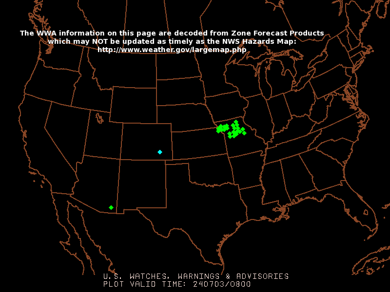
Kentucky Mesonet (22 Sites): Current Weather Data, Daily Max/Mins for Yesterday (& past days), Historical Wx Brief
Click Image to Enlarge

NWS Severe Thunderstorm Watches and Warnings boxes drawn in BLUE
NWS Tornado Watches and Warnings boxes drawn in RED

UCAR 48, NWS 48, NWS day 3-7, Fire Wx : W, C, C, C, E, GFS, 15 Day Jetstream, RUC Comp., SPC Meso., 72 hrs, 3 day Precip, Today, NDFD, 3Z, All-Z, NHC, SNOW: Day1-4, Day2-4, Day3-4, Day1-8, Day3-8, Snow-ICE, Day 2, HPC, Global (USN), e-wall (PSU), 6 hr Radar(PSU), Reg Sfc, Sfc, IR, sfc/sat/rad, Haby, All Maps, Vertical Cross-Sections, T-storm Outlook: Today, Day 2, WxSevKy, By county. , RSS feed. , P-MOS, L-MOS, J-MOS, AFM's Termology, Data for CRP PAH, LMK, JKL, Wy Upper Air, AMS , Reg. Lightning loop , UKAWC ONLY:Nat. Lightning Reg.Lightning Loop  


Click on Image to enlarge

State, 2
Thu Nov 21 14:09:34 EST 2024

Desktop   Dialup   PointAgCast   Rainfall   Mobile   KyMesonet

Home| Current Conditions| Forecasts| Satellite| Radar| Media| Outlooks| Drought| Severe| Tropical Wx| Winter Wx| Climatology| Calc| Fire| NWS| Historical| About Us| Spring Ag-Update Glance| GlanceClim


Current Watches/Warnings/Statements:


Synopsis...


Hazardous Weather Outlook:WEST...


Hazardous Weather Outlook:CENTRAL...


Hazardous Weather Outlook:EAST...


...Stay up-to-date with your County Precision Ag, Lawn, and Garden
Weather Forecast... Short Term Forecast for the Commonwealth: Synopsis...


Place Mouse Over Text to Pause.... Click here to view all scrolling forecast

NWS Weather Story

NWS West:
NWS Central:
NWS East:

Temperature

Next 12 Hrs
Next 24 Hrs
Next 36 Hrs
Next 48 Hrs

Probability of Precipitation

Next 12 Hrs
Next 24 Hrs
Next 36 Hrs
Next 48 Hrs

Weather Conditions

Next 12 Hrs
Next 24 Hrs
Next 36 Hrs
Next 48 Hrs

Winds

Next 12 Hrs
Next 24 Hrs
Next 36 Hrs
Next 48 Hrs

Click here for more ndfd maps.
Kentucky Short-Term Summary
Click here for more summaries.

Kentucky Short-Term Summary


NWS Discussions for: JKL, Paducah

Current Agricultural Weather Conditions in Kentucky
Click here for the entire list of ag. weather observations across Kentucky.


 Across the Commonwealth...
Across the Commonwealth for the next week...

WESTERN KY AREA (including Paducah):


--------------------------------------------------------------------

CENTRAL KY AREA (including Louisville and Lexington):


--------------------------------------------------------------------

EASTERN KY AREA (including Jackson):


Kentucky Medium & Long Range Outlook:


West

============================== EXT West==============================

Click here LDM AFM raw data
Click here For AFM Backup
Click here NoaaPort RDF raw data
Click Parsed AFM for 005
Click
All Parsed AFM files
Click
All AFM tables
Click
All stories
Click
All FOUS on weather2 LDM
Click All FOUS on weather3 LDM
Click here Paduach NWS Office AFM
Click here Central Regionals Paduach NWS Office RDF


--------------------------------------------------------------------
Central


============================== EXT Central ==============================
Click here LDM AFM raw data
Click here For AFM Backup
Click here NoaaPort RDF raw data
Click Parsed AFM for 041
Click
All AFM tables
Click
All stories
Click
All FOUS on weather2 LDM
Click All FOUS on weather3 LDM
Click here Louisville NWS Office RDF
Click here Central Regionals Louisville NWS Office RDF

--------------------------------------------------------------------
East
============================== EXT East ==============================
Click here LDM afm raw data
Click here For AFM Backup
Click Parsed AFM for 041
Click
All AFM tables
Click
All FOUS on weather2 LDM
Click All FOUS on weather3 LDM
Click here Central Regionals Jackson NWS Office RDF


--------------------------------------------------------------------


WEST - Hazardous Weather
CENTRAL - Hazardous Weather
EAST - Hazardous Weather


WEST - Fire Weather
CENTRAL - Fire Weather
EAST - Fire Weather


Click on Image to enlarge


============================================================================

Warnings

Current
State/County
RSS/XML
UV Alerts

Observations

Radar
Satellite
Snow Cover
Marine
River/Stream
Surface Weather Observed Precip

Text Messages

By State
By Type
National

Forecasts

Local
Graphical
Aviation
Marine
River/Stream
Hurricanes
Severe Weather
Fire Weather
Sun/Moon

Forecast Models

Numerical Models
Statistical Models
  MOS Prod
  GFS-LAMP Prod
Current Forecast Maps
Fronts/Precipitation Maps
Surface Analysis
Forecast Maps
Fax Charts

Climate

Past Weather
Predictions
Heating/Cooling Days
Monthly Temps
Records
Long Range Forecasts
Astronomical Data

Education/Outreach

NOAA Education
General Public
Teachers
Students
Play Time for Kids
Audio/Video Presentations
Brochures
Library
Glossary
NWS Training
JetStream

Information Center

Tsunamis
Publications
Proper Siting for Weather Instruments
Damage/Fatality/Injury Statistics
Admin maps/charts
Brochures
Digital Forecast Info
GIS Products
XML Products

Weather Safety

Weather Radio
Hazard Assmt
StormReady
TsunamiReady

Administrative

Headquarters
For NWS Employees
Mission Statement
Strategic Plan
Headline Archive
International
Legislative Affairs
National Centers
Local Offices
Products and Services

Contact Us

FAQ
Comments
     
Warnings & Forecasts Graphical Forecasts National Maps   Radar     Water    Air Quality   Satellite   Climate 
hits=14213