Weather & Forecasts
Current Conditions
Forecasts
Satellite Imagery
Radar Imagery
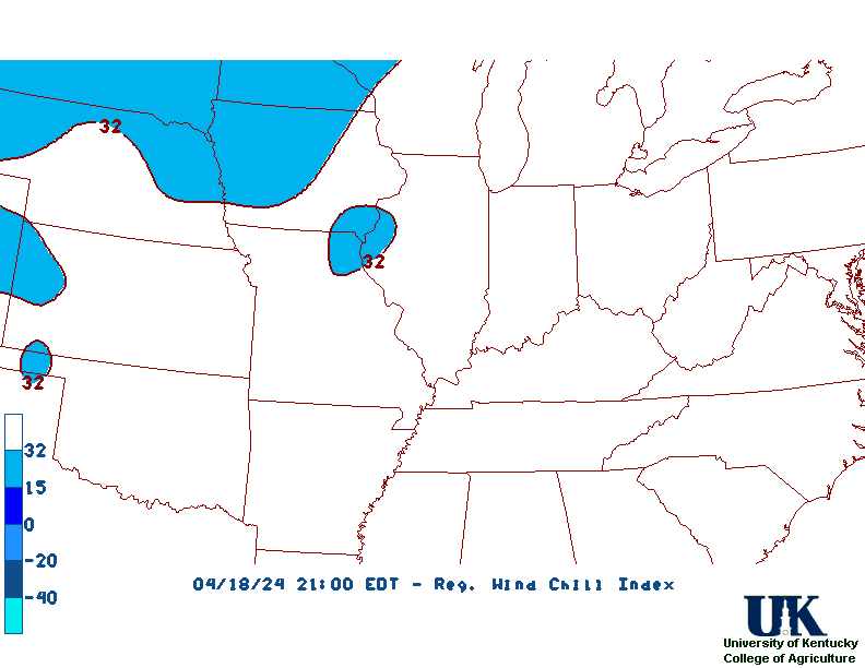
Winter Wx
Fire Weather
Long Range Outlooks
Other
Kentucky Climate
Climatology
Pests/Disease
Ag/Wx Calculators
Hydrology Info.
Other UKAWC Sites
Severe Wx.
Tropical Wx
Kentucky Ag. Wx.
Drought
National Wx.
International Wx.
Learning About Wx.
About UKAWC
UKAWC Home
![[Header Map]](/images/header.gif)
![]()
For Local Warnings - Select a State and Hit "GO!"