 |
|
| Click on the map below for the latest forecast. | | |
|
|
|
|
|
| Read watches, warnings & advisories |
|
|
|
|
WEST -
CENTRAL -
EAST -
National
NWS Illinios Radar - Alt. Radar
 [Obs.,
Rainfall Fcst.,
Rainfall Est.,
Current Satellite Loop,
Current U.S. Road Conditions]
[Obs.,
Rainfall Fcst.,
Rainfall Est.,
Current Satellite Loop,
Current U.S. Road Conditions]
Current Travel Weather (TWC)

[
U.S. |
Regional Snowfall Forecast |
Weather Trend |
Jetstream]
Summaries,
Surface,
18 hr.,
24 hr.,
36 hr.,
48 hr.,
Day 3,
Day 4,
Day 5
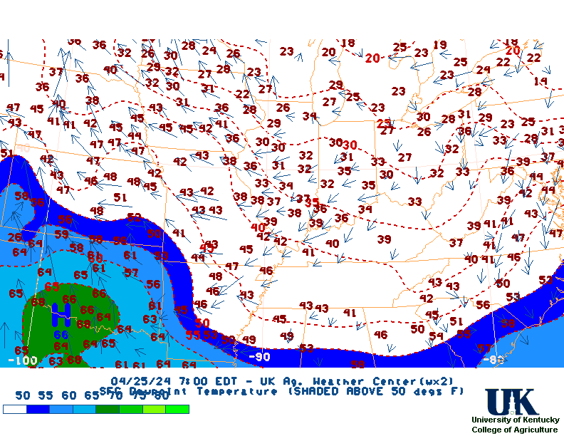
Current Temps,
Dewpts,
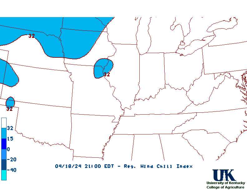
WC,
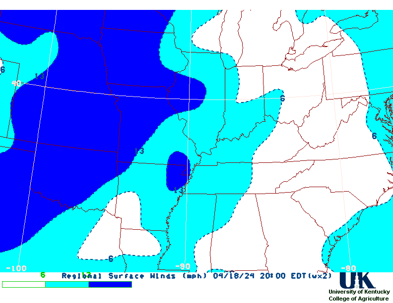
Winds
All Maps
|
Click Image to Enlarge

NWS Severe Thunderstorm Watches and Warnings boxes drawn in
BLUE
NWS Tornado Watches and Warnings boxes drawn in RED
|
| | | |