Click on button above to view KY Watches/Warnings/Special Wx Statements.
Click here for all NWS Watch/Warning Map.

McCracken County, KY Weather And Climate Synopsis

To sign UKAWC'S guestbook...send us your comments concerning our web site and Kentucky weather...Click Here.

To access other UK Agricultural Weather Center Pages use the pull-down menu below.

(Click image to zoom) or Click Here

36 Hr. Forecast Map
All Radar images NOAA/UKAWC
All Satellite images NOAA

County Hazardous Weather Outlook County Weather for Emergency Managers County Drought Status
Weather Summary County Ag Weather Advisory Hourly Observations Nowcast 7 Day Forecast Medium & Long Range Outlook
Precipitation Report Kentucky Climate Summary GIS Estimates Almanac Precision Ag., Lawn & Garden Forecast Historical Facts


Soil Moisture Anomaly Loop


Current Spraying Conditions
Also see:


A joint service of the UK Ag Weather Center and the National Weather Service.


Updated Thursday Evening, December 9, 2021

Severe weather on the table

It has been a rather active weather pattern to start December. Through the 8th, the state has averaged 1.39 inches. Attention now turns to another round of showers and storms tomorrow and Saturday. Altogether, another half to 1.5 inches will be on the table. Coverage will start tomorrow scattered in nature. Highs will jump into the 60s across much of the area behind breezy southerly winds. Shower/storm coverage and intensity then increases tomorrow night and into Saturday morning. A line of storms is expected with damaging winds as the main threat, but tornadoes also very much possible. Heavy rain also presents a flooding threat, especially for low lying areas. Now is the time to get animals out of those spots. Bottom line, this will present an overnight threat, so please have a way to get warning (highly suggest a NOAA Weather Radio).

After a brief cool down for the latter half of the weekend, temperatures go on the uphill climb next week. Outlooks hint the warm air will hang around the area through the third full week of December. Any additional rain chances look to hold off until late workweek.

USDA's Ag Weather:National Ag. Weather Outlook, International Ag. Weather Summary , Next Weather Event?
Current Surface Map, Regional, Composite, TWC, Yesterday's Highs, Lows ,
Upper Air


Regional Hourly Observations For MCCRACKEN County, Kentucky
Issued at 100 PM EDT FRI MAY 03 2024
WESTERN AND SOUTH CENTRAL KENTUCKY
  
CITY           SKY/WX    TMP DP  RH WIND       PRES   REMARKS
PADUCAH        CLOUDY    73  63  70 CALM      29.97R                  
HENDERSON      NOT AVBL                                               
OWENSBORO      CLOUDY    72  65  78 VRB5      29.97F                  
HOPKINSVILLE   CLOUDY    70  65  85 N3        29.94S                  
BOWLING GREEN  CLOUDY    73  65  75 SE7       29.96S                  
GLASGOW        PTSUNNY   73  66  80 S8        29.98S                  

KY Round-up, Current Temperatures, Dewpoint, Rh, Wind, Regional Obs., Station Model, Surface 4-Panel, NWS Louisville
Meteograms: Paducah , Evansville , Bowling Green , Hopkinsville , Frankfort , Louisville , Lexington , Covington , Jackson , London , Shelby Co. Weather , Spindletop Research Weather Station , Woodford Co. Research Weather Station , About Meteograms


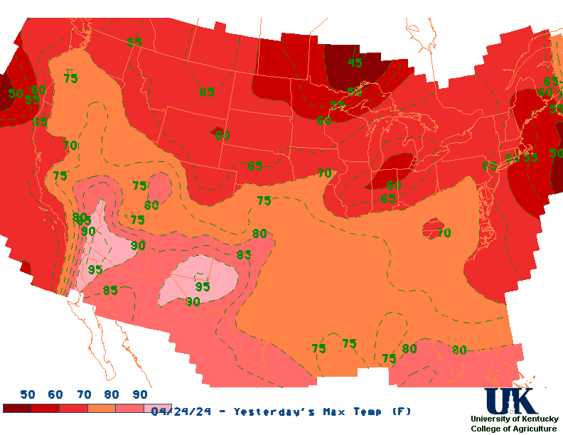
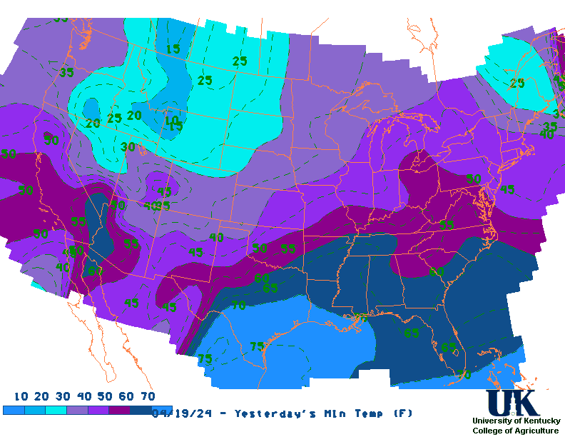
Current Agriculture, Lawn & Garden Weather Conditions in Kentucky
Based on observations at 100pm EDT, Friday May 03, 2024

Across Kentucky...temperatures are near 73 degrees west, near 69 degrees central, and near 75 degrees east. Current sky conditions are cloudy west, cloudy central, and partly sunny east. In the west, relative humidity is near 70%, and the dew point is near 63 degrees. In the central part of the state, relative humidity is near 86%, and the dew point is near 65 degrees. In the east, relative humidity is near 61%, and the dew point is near 61 degrees. Current drying conditions are fair west, poor central, and fair east. The livestock heat stress category is no stress west, no stress central, and no stress east. Winds are calm west, where conditions are favorable for spraying. Winds are from the south at 7 mph central, where conditions are favorable for spraying. Winds are calm east, where conditions are favorable for spraying. Based on current available observations, the highest temperature is 75 degrees at Jackson. The lowest temperature is 68 degrees at Frankfort.

List of Agriculture, Lawn & Garden Weather Observations in Kentucky


Current NOWCAST not available:
Nowcasts are not issued routinely during fair weather. Only when
precipitation or other significant weather is occuring in this county will these
forecasts be issued. Currently, there is no short term forecast in effect.

UKAWC Radar, NWS Radar (NEW!), SPC Radar, Regional Radar, NEXRAD, LSI Heat Index
Hazardous Weather Outlook For MCCRACKEN County, Kentucky
Issued at: Fri May 3 05:20:16 EDT 2024

419 AM CDT Fri May 3 2024 /519 AM EDT Fri May 3 2024/

This Hazardous Weather Outlook is for portions of southern
Illinois, southwest Indiana, western Kentucky, and southeast
Missouri.

.DAY ONE...Today and Tonight

A few thunderstorms will be possible mainly over the southeast
half of the Quad State this afternoon and evening. Lightning and
brief heavy downpours will be possible.

.DAYS TWO THROUGH SEVEN...Saturday through Thursday

Isolated thunderstorms will be possible Saturday afternoon and
evening, and scattered thunderstorms are forecast Sunday 
afternoon through Monday. A few storms in the heat of the day this
weekend could produce gusty winds, but lightning and locally 
heavy downpours will be the primary concerns through this period.

Multiple rounds of thunderstorms with a severe and heavy rainfall
threat are possible Tuesday through Thursday. At this time, the
threat for severe storms is greatest Tuesday and Tuesday night.
The flooding potential will increase with each round of storms.

.SPOTTER INFORMATION STATEMENT...

Spotter activation may become necessary Tuesday and Wednesday.

NWS Severe Weather Map , Convective Outlook


RDF forecast not available NEW NWS Experimental Weather Activity Planner: West, Central, East
NWS Experimental Point Forecasts (5 km x 5 km grid for Kentucky): West, Central, East

MCCRACKEN County, Kentucky Agriculture, Lawn & Garden Weather Advisory

Updated: 310 AM CST THU NOV 12 2009

TODAY (6AM-5PM)

Max Temperature...........................63 degrees.
Precipitation (liq. eq. )...................0.00 inches (No rainfall).
Precipitation area .........................0% of the county expected.
Dewpoints.......................................28 to 29 Degrees.
Min RH (Relative Humidity).........28%.
Wind Speed....................................4 to 6 mph
Winds@3 PM..................................northeast at 6 mph
Spraying Conditions....................favorable
Sky Conditions @9 AM ...............sunny.
RH < 50%........................................ for 9 hours
RH > 80%.........................................for 0 hour
No. of Hours Temp <=32 .............0
No. of Hours Temp <= 20 .............0
No. of Hours Temp <= 0 ...............0

The high today (6am-5pm) in McCracken county, is expected to be near 63 degrees. No rainfall is expected. Temperature will range from near 38 to near 61 degrees. Dewpoints will range from 28 to 29 degrees. These dewpoints will combine with today (6am-5pm)'s temperatures resulting in relative humidity minimum of 28%. Skies will be sunny at 9 AM and sunny at 3 PM. Wind speed will range from 4 to 6 mph during the period. Winds at 3 PM will be out of the northeast at 6 mph, which is favorable spraying conditions in rain-free areas. Relative humidity will be less than 50% for 9 hours and greater than 80% for 0 hour

TONIGHT (6PM-5AM)

Min Temperature...........................37 degrees.
Precipitation (liq. eq. )...................0.00 inches (No rainfall).
Precipitation area .........................0% of the county expected.
Dewpoints.......................................28 to 31 Degrees.
Max RH (Relative Humidity)........73%.
Wind Speed....................................1 to 4 mph
Winds@3 AM..................................east at 2 mph
Spraying Conditions....................favorable
Sky Conditions @12 AM .............clear.
Sky Conditions @3 AM ...............clear.
RH < 50%........................................ for 2 hours
RH > 80%.........................................for 0 hour
No. of Hours Temp <=32 .............0
No. of Hours Temp <= 20 .............0
No. of Hours Temp <= 0 ...............0

The low tonight (6pm-5am) in McCracken county, is expected to be around 37 degrees. No rainfall is expected. Temperature will range from near 39 to near 51 degrees. Dewpoints will range from 28 to 31 degrees. These dewpoints will combine with tonight (6pm-5am)'s temperatures resulting in relative humidity maximum of 73%. Skies will be clear at 12 AM and clear at 3 AM. Wind speed will range from 1 to 4 mph during the period. Winds at 3 AM will be out of the east at 2 mph, which is favorable spraying conditions in rain-free areas. Relative humidity will be less than 50% for 2 hours and greater than 80% for 0 hour

TOMORROW (6AM-5PM)

Max Temperature...........................66 degrees.
Precipitation (liq. eq. )...................0.00 inches (No rainfall).
Precipitation area .........................0% of the county expected.
Dewpoints.......................................31 to 35 Degrees.
Min RH (Relative Humidity).........31%.
Wind Speed....................................1 to 6 mph
Winds@3 PM..................................south at 6 mph
Spraying Conditions....................favorable
Sky Conditions @9 AM ...............sunny.
Sky Conditions @3 PM ...............sunny.
RH < 50%........................................ for 7 hours
RH > 80%.........................................for 0 hour
No. of Hours Temp <=32 .............0
No. of Hours Temp <= 20 .............0
No. of Hours Temp <= 0 ...............0

The high tomorrow (6am-5pm) in McCracken county, is expected to be near 66 degrees. No rainfall is expected. Temperature will range from near 39 to near 65 degrees. Dewpoints will range from 31 to 35 degrees. These dewpoints will combine with tomorrow (6am-5pm)'s temperatures resulting in relative humidity minimum of 31%. Skies will be sunny at 9 AM and sunny at 3 PM. Wind speed will range from 1 to 6 mph during the period. Winds at 3 PM will be out of the south at 6 mph, which is favorable spraying conditions in rain-free areas. Relative humidity will be less than 50% for 7 hours and greater than 80% for 0 hour

TOMORROW NIGHT (6PM-5AM)

Min Temperature...........................45 degrees.
Precipitation (liq. eq. )...................0.00 inches (No rainfall).
Precipitation area .........................0% of the county expected.
Dewpoints.......................................31 to 36 Degrees.
Max RH (Relative Humidity)........65%.
Wind Speed....................................4 to 5 mph
Winds@3 AM..................................south at 4 mph
Spraying Conditions....................favorable
Sky Conditions @12 AM .............mostly clear.
Sky Conditions @3 AM ...............partly cloudy.
RH < 50%........................................ for 5 hours
RH > 80%.........................................for 0 hour
No. of Hours Temp <=32 .............0
No. of Hours Temp <= 20 .............0
No. of Hours Temp <= 0 ...............0

The low tomorrow night (6pm-5am) in McCracken county, is expected to be around 45 degrees. No rainfall is expected. Temperature will range from near 47 to near 56 degrees. Dewpoints will range from 31 to 36 degrees. These dewpoints will combine with tomorrow night (6pm-5am)'s temperatures resulting in relative humidity maximum of 65%. Skies will be mostly clear at 12 AM and partly cloudy at 3 AM. Wind speed will range from 4 to 5 mph during the period. Winds at 3 AM will be out of the south at 4 mph, which is favorable spraying conditions in rain-free areas. Relative humidity will be less than 50% for 5 hours and greater than 80% for 0 hour

72 HOUR SUMMARY

The temperature is expected to be in the range from 37 degrees and 68 degrees. Dewpoints will range from 28 to 47 degrees. No measurable precipitation is expected.


Ag. Weather Forecast Parameter Maps:Spraying Conditions , Dewpoint Temperatures, Livestock Heat Stress


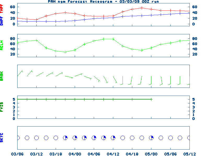
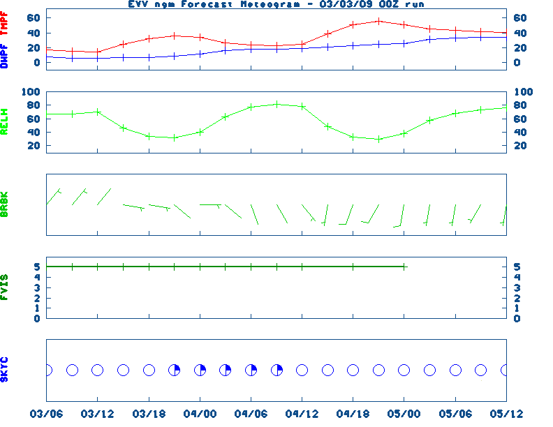
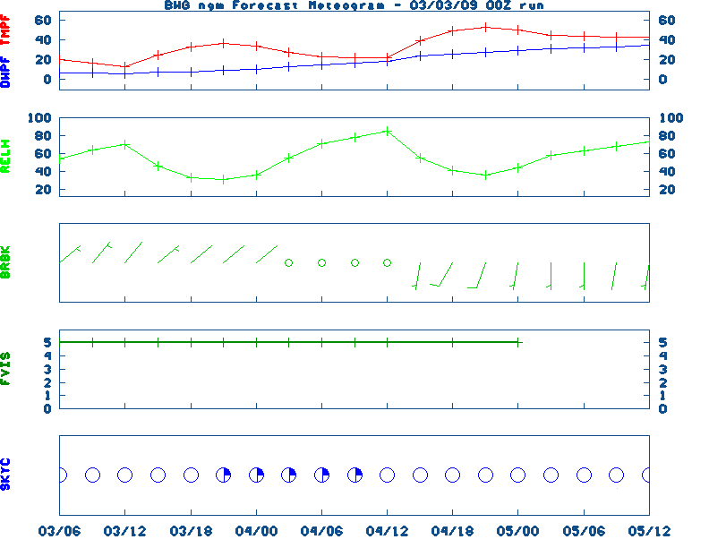
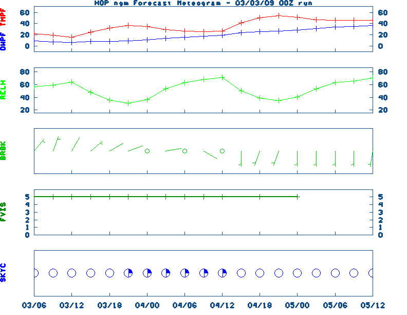
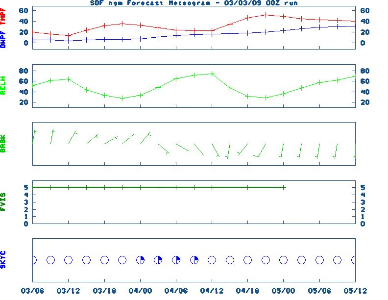
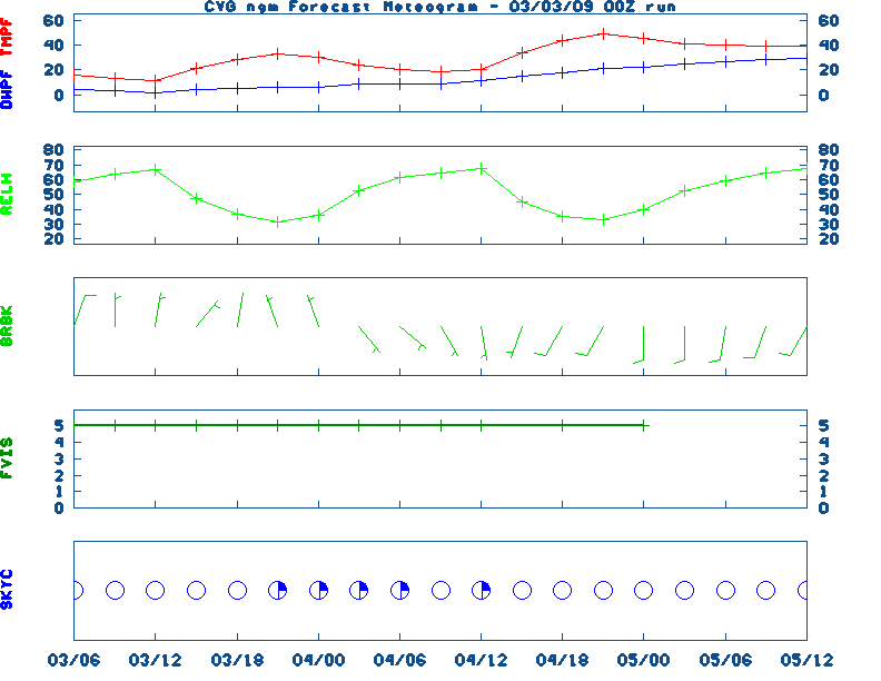
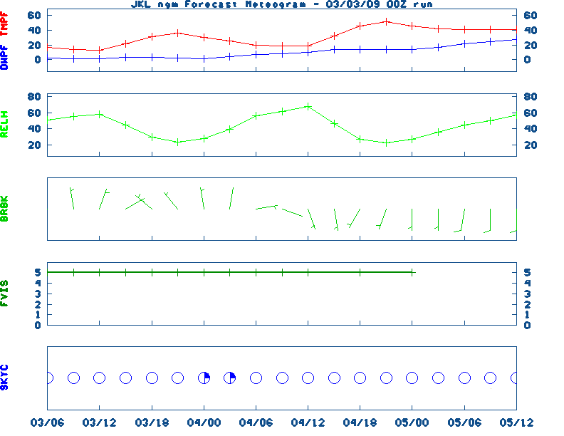
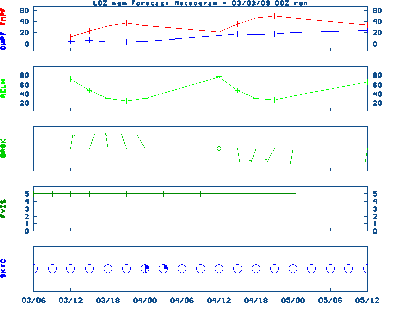
Extended Digital forecast not available
Current FORECAST not available TWC Forecast, NWS Maps, Fire Danger, Day 1 Precip, Day 2, 5 Day Total, Days 1-5
NGM 60 Hr Forecast Meteograms: Paducah , Evansville , Bowling Green , Hopkinsville , Frankfort , Louisville , Lexington , Covington , Jackson , London, All Kentucky Hourly Model Guidance, About NGM Forecast Meteograms

Kentucky Agricultural Weather Medium-Range Outlook (Based on the MEX Model)

MEDIUM RANGE AG FORECAST:

- Click here for Graphical Ag. Weather Forecast -

SATURDAY :
Highs across the state will range from 0 West and 0 Central, to 0 East. Dewpoints will range from (% to 0/ West, (% to 0/ Central, and (% to 0/ East throughout the day. Rainfall amounts of 0 inches over (F)% of the area West, 0 inches over (F)% of the area Central, and 0 inches over (F)% of the area East should be expected. Lows Saturday will fall to 0/ West, 0/ Central, and 0/ East. Skies throughout the day will start out and end in the West, start and end Central, and start out and end East. The maximum livestock stress category will be West, Central, and East. There will be 0 corn growing degree days West, 0 Central, and 0 East. Wind speeds in the morning and afternoon will be around and mph , respectively, West, and mph Central, and and mph East.

SATURDAY :
Highs across the state will range from 0 West and 0 Central, to 0 East. Dewpoints will range from to 0/ West, to 0/ Central, and to 0/ East throughout the day. Rainfall amounts of 0 inches over 0/ % of the area West, 0 inches over 0/ % of the area Central, and 0 inches over 0/ % of the area East should be expected. Lows Saturday will fall to 0/ West, 0/ Central, and 0/ East. Skies throughout the day will start out and end in the West, start and end Central, and start out and end East. The maximum livestock stress category will be West, Central, and East. There will be 0 corn growing degree days West, 0 Central, and 0 East. Wind speeds in the morning and afternoon will be around and mph , respectively, West, and mph Central, and and mph East.

SATURDAY :
Highs across the state will range from 0 West and 0 Central, to 0 East. Dewpoints will range from to 0/ West, to 0/ Central, and to 0/ East throughout the day. Rainfall amounts of 0 inches over 0 % of the area West, 0 inches over 0 % of the area Central, and 0 inches over 0 % of the area East should be expected. Lows Saturday will fall to 0/ West, 0/ Central, and 0/ East. Skies throughout the day will start out and end in the West, start and end Central, and start out and end East. The maximum livestock stress category will be West, Central, and East. There will be 0 corn growing degree days West, 0 Central, and 0 East. Wind speeds in the morning and afternoon will be around and mph , respectively, West, and mph Central, and and mph East.

SATURDAY :
Highs across the state will range from 0 West and 0 Central, to 0 East. Dewpoints will range from to 0/ West, to 0/ Central, and to 0/ East throughout the day. Rainfall amounts of inches over 0/ % of the area West, inches over 0/ % of the area Central, and inches over 0/ % of the area East should be expected. Lows Saturday will fall to 0/ West, 0/ Central, and 0/ East. Skies throughout the day will start out and end in the West, start and end Central, and start out and end East. The maximum livestock stress category will be West, Central, and East. There will be 0 corn growing degree days West, 0 Central, and 0 East. Wind speeds in the morning and afternoon will be around and mph , respectively, West, and mph Central, and and mph East.

SATURDAY :
Highs across the state will range from 0 West and 0 Central, to 0 East. Dewpoints will range from to 0/ West, to 0/ Central, and to 0/ East throughout the day. Rainfall amounts of inches over 0 % of the area West, inches over 0 % of the area Central, and inches over 0 % of the area East should be expected. Lows Saturday will fall to 0/ West, 0/ Central, and 0/ East. Skies throughout the day will start out and end in the West, start and end Central, and start out and end East. The maximum livestock stress category will be West, Central, and East. There will be corn growing degree days West, Central, and East. Wind speeds in the morning and afternoon will be around and mph , respectively, West, and mph Central, and and mph East.

SATURDAY :
Highs across the state will range from West and Central, to East. Dewpoints will range from to 0/ West, to 0/ Central, and to 0/ East throughout the day. Rainfall amounts of inches over 0/ % of the area West, inches over 0/ % of the area Central, and inches over 0/ % of the area East should be expected. Lows Saturday will fall to West, Central, and East. Skies throughout the day will start out and end in the West, start and end Central, and start out and end East. The maximum livestock stress category will be West, Central, and East.There will be corn growing degree days West, Central, and East. Wind speeds in the morning and afternoon will be around and mph, respectively, West, and mph Central, and and mph East.

Raw Data: MEX(west), MEX(central), MEX(east)

* NOTE: See specific site Ag Wx Data and Summary files for further information.

Graphic Regional Ag. Weather Outlook, Tabular data for the Medium Range Outlook


Medium & Long Range Outlook For Kentucky
                             KENTUCKY                                                                     
                 ---------------------------------------------
                 6 TO 10 DAY  8 TO 14 DAY   30 DAY    90 DAY 
                    MAY 8-12    MAY 10-16    JUN       JUN-AUG                      
                 -----------  -----------  --------  ---------
   Temperature:      Above       Normal                                            
 Precipitation:      Above        Above                                            

....  Medium and long range outlooks provided by NCEP/K. Thomas Priddy
UKAWC 8 Day Forecast Maps, TWC Jet, 15-Day Jet,Trend, Max/Mins (80k)
6 to 10 Day , 8 to 14 Day , Text, 30-Day Outook, 90-Day Outook, 120-Day Outlook


Precipitation Report: (liquid equivalent)

Total Precipitation and Deviation From Normal (in inches)
Valid May 27, 2012

The nearest available weather station for McCracken County is Paducah:

                      Past 7 days      Past 30 days   Jan 1 - Present
Station             Total     Dev     Total     Dev     Total     Dev
---------------     -----  ------     -----  ------    ------  ------
Paducah              0.13   -0.99      0.44   -4.37     11.08  -10.16
List of Kentucky Weather Stations (1st Order & Ag. stations) Rainfall
UKAWC Regional Ag Weather Summary (Select Format): Spring , Summer , Fall

Drought Status For MCCRACKEN County, Kentucky
(Based on the latest Palmer Drought Severity and Crop Moisture Indices)
WESTERN   KY CLIMATE DIVISION

Hydrological Drought (PDSI) Situation:
------------------------------------------------------------------------------------

Current Long-term Hydrological Moisture Status: NEAR NORMAL           (PDSI=   0.35)
Rainfall Needed:  0.00 inches ABOVE NORMAL


Crop Moisture (CMI) Situation:
----------------------------------------------------------------------------------------------------------

Current Short-term Crop Moisture Status: Favorable For Normal Growth And Fieldwork    (CMI=   0.16)
Change From Previous Week: DRIER      SOILS ( -0.06)

Note: Due to rainfall variability within each climate division, check Precip Reports/GIS Estimates and the Kentucky Climate Summary for the latest moisture information for this county.

Additional Drought Info.: UKAWC Drought Page


Kentucky Climate Summary
normal. High temperatures averaged from 81 in the West to 78 in the East. Departure from normal high temperatures ranged from +5 degrees from normal in the West to +7 degrees from normal in the East. Low temperatures averaged from 61 degrees in the West to 62 degrees in the East. Departure from normal low temperature ranged from +10 degrees from normal in the West to +12 degrees from normal in the East.

Precipitation (liq. equ.) for the period totaled 0.90 inches statewide which was -0.10 inches from normal. Precipitation totals by climate division, West 0.97 inches, Central 1.33 inches, Bluegrass 0.60 inches and East 0.66 inches, which was -0.11, + 0.29, -0.36 and -0.27 inches respectively from normal. By station, precipitation totals ranged from a low of 0 inches at Spindletop to a high of 2.14 inches at Nashville.

Kentucky Climate Summaries: Last 3 days, 7 days, 14 days, 21 days, 30 days
Yesterday's Weather Data, Kentucky Climate Analysis, Kentucky Climate in Review (2005)


EUROPEAN CORN BORER not available
European Corn Borer Accumulation Map


ALFALFA WEEVIL not available
Alfalfa Weevil Accumulation Map


WESTERN CORN ROOTWORM not available
Western Corn Rootworm Accumulation Map


GIS ESTIMATES FOR MCCRACKEN COUNTY
Valid July 29, 2013

The GIS estimates are derived by ARC/INFO GIS software for a
central point in the county.  The estimates are calculated from
from 29 weather stations in the Kentucky area.

Precipitation Estimates

                     Last 3   Last 7   Last 14   Last 30     Since
                       Days     Days      Days      Days     Jan 1
_______________________________________________________________________________
Precip Total           0.01     0.87      1.44      3.08     37.42
Precip Deviation      -0.40    -0.09     -0.47     -1.00      7.33

Temperature Estimates

                     Last 3        Last 7       Last 14       Last 30
                       Days          Days          Days          Days
_____________________________________________________________________
Temp Average             70            74            77            76
Temp Deviation           -8            -4            -1            -2

Soil Temperature Estimates

                                Yesterday
_________________________________________
Avg 4" Sod Soil Temp   	               76

European Corn Borer Degree Days Accumulations

Degree Days                      Forecasted Accumulations
      Total          550      610      750     1660     1740
____________________________________________________________
       2060         5/13     5/17     5/23     6/30      7/4

Almanac Information
Friday May 03, 2024 the 124th Day of Year

---------------------------------------------------
SUN
Declination 16.120000
Distance 0.999718 AU
Rise 06:39 EDT Set 20:32 EDT
Transit Meridian 13:35 EDT
Civil Twilight Begins 06:11 EDT Ends 21:00 EDT

---------------------------------------------------
Normal Max/Min Temperature for Today: 75 / 51
---------------------------------------------------


Calculations made for central point in Kentucky
Time in ET -- and will vary due to location and
elevation -- Priddy

Sunrise/Sunset/Moonrise/Moonset Computation (USN)
TEMPERATURE is not available
Yesterday's U.S. Highs, Lows , KY's Highs/Lows/Precip, Daily Weather Data, Hourly Weather Data
Historical Weather And Climate Facts For Today
////////////////////////////////////////////////////////////////////
MAY 3RD...HISTORIC WEATHER EVENTS
...1762... 
A tornado struck Port Royal Island, South Carolina.  It left a path 400 yards 
wide, tore up trees by the roots, and carried away houses and bridges.

...1899...
Havre, Montana was buried under 24.8 inches of snow, a record for the month of 
May for the location.

...1920...
Peggs, Oklahoma was completely destroyed by an F4 tornado.  71 people were 
killed which was 30 percent of the town's population.

...1929...
The worst tornado disaster in Virginia's history occurred.  6 tornadoes, 
including 2 west of the Blue Ridge Mountains, killed 22 people.  4 schools were 
destroyed by the storms.  12 children and a teacher were killed at Rye Cove in 
Scott County.

...1954...
A major late season snowstorm struck the arrowhead of Minnesota, leaving 18 
inches of new snow at Virginia.

...1978...
Persistent thunderstorms caused widespread flooding in southeastern
Louisiana and extreme southeastern Mississippi. Rainfall totals of ten to
thirteen and a half inches were reported around New Orleans causing the
worst flooding in thirty years. The water depth reached three to four feet
in several hundred homes, and total property damage was estimated at one
hundred million dollars. (David Ludlum)

...1983...
Severe thunderstorms produced five F2 tornadoes and one F3 tornado in New York 
with 3 people killed.  A large part of the small town of Boonville was 
demolished with a damage total of $15 million in the town alone.  Golfball size 
hail accumulated to a depth of 6 inches at Pine City.  

...1987...
Thunderstorms produced severe weather in Texas, Oklahoma and Kansas.
Softball size hail was reported at Center Point TX, and a tornado caused
three million dollars damage near Satanta KS. Heavy snow blanketed the
foothills of eastern Colorado, with 18 inches reported at Divide. (The
National Weather Summary) (Storm Data)

...2000...
Lightning strikes a home more than 100 years old in 
Lewisburg, TN. The 2 story home burns to the ground. This house 
had also been hit by a tornado in 1913. The tax assessor 
claims the home was worth $26,452. (NWS Nashville)

...2005...
Record lows broken or tied across Central Kentucky this 
morning.  Record low temperatures were set this morning at 
the National Weather service in Louisville with 34 degrees 
and a low of 32 degrees in Lexington. In Bowling Green the 
record low of 34 degrees set 110 years ago was tied.
	
Also...record low in Louisville...a new record low temperature of 34 
degrees was set earlier this morning at the national weather 
service office. The old record was 35 degrees set back in 
1961. (NWS Louisville)
	
UKAWC Briefing Page

Ag Weather Center, Department of Biosystems & Agricultural Engineering, University of Kentucky