A joint service of the UK Ag Weather Center and the National Weather Service.
Updated Thursday Evening, December 9, 2021

Severe weather on the table

It has been a rather active weather pattern to start December. Through the 8th, the
state has averaged 1.39 inches. Attention now turns to another round of showers and
storms tomorrow and Saturday. Altogether, another half to 1.5 inches will be on the
table. Coverage will start tomorrow scattered in nature. Highs will jump into the 60s
across much of the area behind breezy southerly winds. Shower/storm coverage and
intensity then increases tomorrow night and into Saturday morning. A line of storms is expected with damaging
winds as the main threat, but tornadoes also very much possible. Heavy rain also presents
a flooding threat, especially for low lying areas. Now is the time to get animals out
of those spots. Bottom line, this will present an overnight threat, so please have
a way to get warning (highly suggest a NOAA Weather Radio).

After a brief cool down for the latter half of the weekend, temperatures go on the uphill
climb next week. Outlooks hint the warm air will hang around the area through the third
full week of December. Any additional rain chances look to hold off until late workweek.
 USDA's Ag Weather: USDA's Ag Weather: National Ag. Weather Outlook, International Ag. Weather Summary , Next Weather Event?
Current Surface Map, Regional, Composite, TWC, Yesterday's Highs, Lows ,
Upper Air
KY Round-up,
Current Temperatures,
Dewpoint,
Rh,
Wind,
Regional Obs.,
Station Model,
Surface 4-Panel,
NWS Louisville
Meteograms:
Paducah ,
Evansville ,
Bowling Green ,
Hopkinsville ,
Frankfort ,
Louisville ,
Lexington ,
Covington ,
Jackson ,
London ,
Shelby Co. Weather ,
Spindletop Research Weather Station ,
Woodford Co. Research Weather Station ,
About Meteograms
List of Agriculture, Lawn & Garden Weather Observations in Kentucky
Current NOWCAST not available:
Nowcasts are not issued routinely during fair weather. Only when
precipitation or other significant weather is occuring in this county will these
forecasts be issued. Currently, there is no short term forecast in effect.
UKAWC Radar,
NWS Radar (NEW!),
SPC Radar,
Regional Radar,
NEXRAD,
LSI Heat Index
NWS Severe Weather Map , Convective Outlook
RDF forecast not available
NEW NWS Experimental Weather Activity Planner:
West,
Central,
East
NWS Experimental Point Forecasts (5 km x 5 km grid for Kentucky):
West,
Central,
East
Ag. Weather Forecast Parameter Maps:Spraying Conditions , Dewpoint Temperatures, Livestock Heat Stress
Extended Digital forecast not available
Current FORECAST not available
TWC Forecast,
NWS Maps,
Fire Danger,
Day 1 Precip,
Day 2,
5 Day Total,
Days 1-5
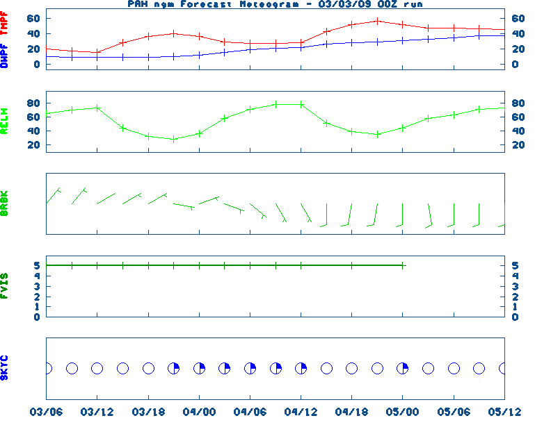
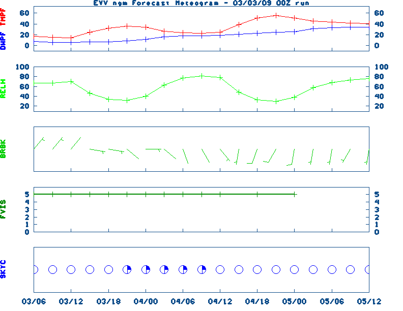
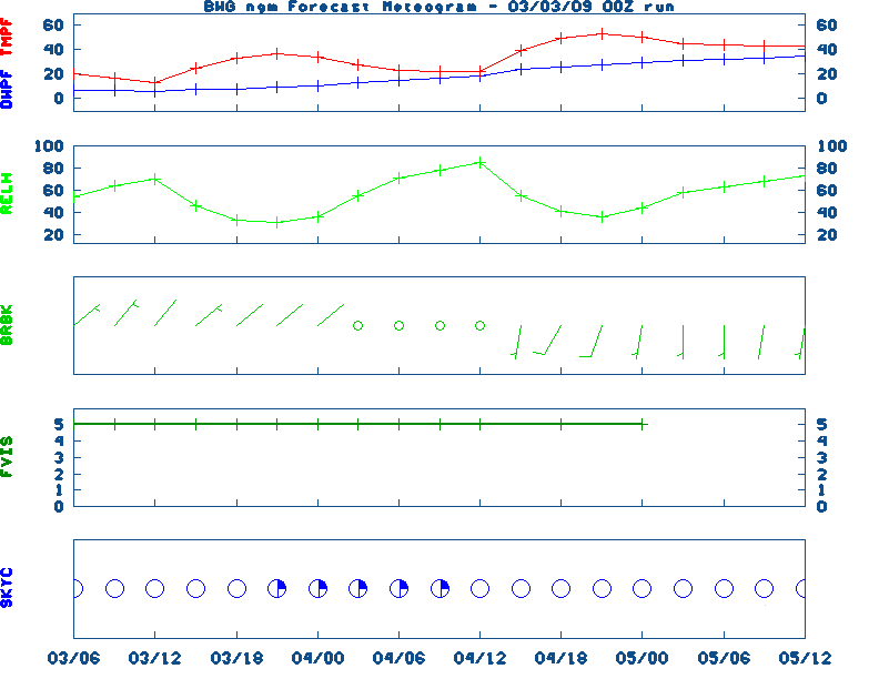
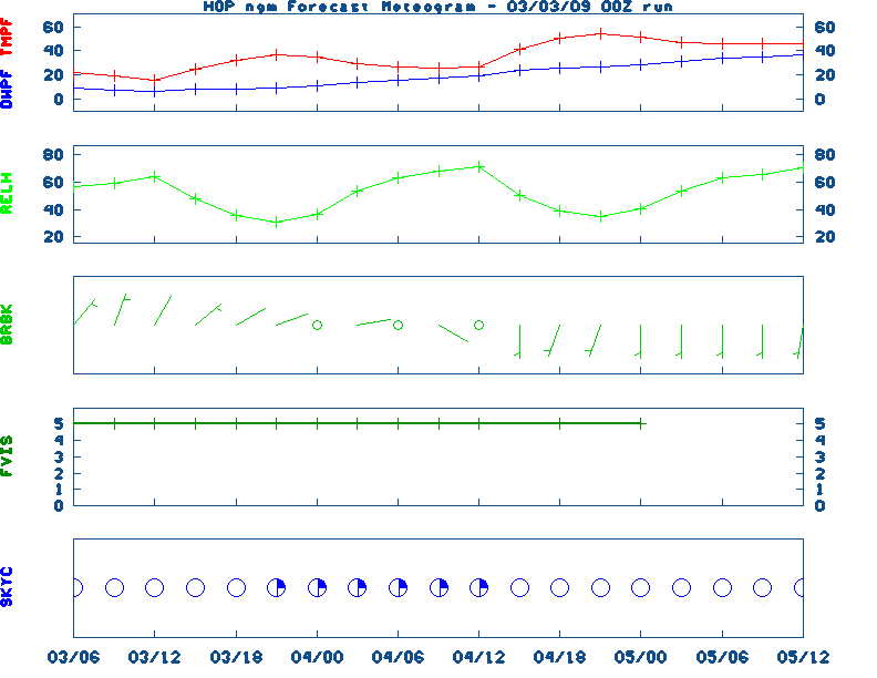
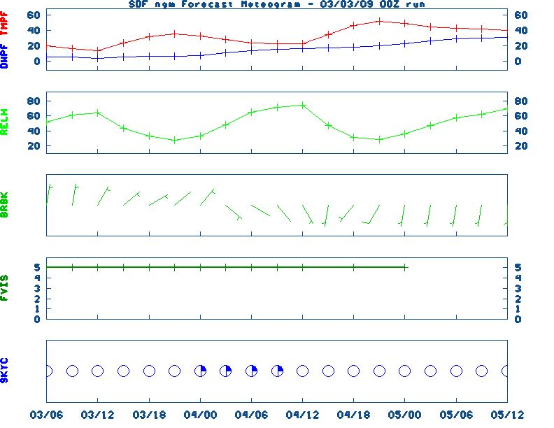
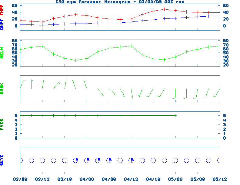
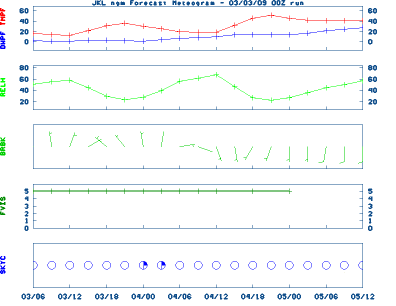
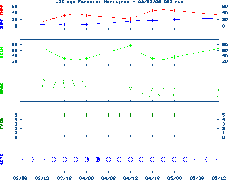
NGM 60 Hr Forecast Meteograms:
Paducah ,
Evansville ,
Bowling Green ,
Hopkinsville ,
Frankfort ,
Louisville ,
Lexington ,
Covington ,
Jackson ,
London, All Kentucky Hourly Model Guidance,
About NGM Forecast Meteograms
Graphic Regional Ag. Weather Outlook, Tabular data for the Medium Range Outlook
The weather OUTLOOK is not available
UKAWC 8 Day Forecast Maps, TWC Jet, 15-Day Jet,Trend, Max/Mins (80k)
6 to 10 Day , 8 to 14 Day , Text, 30-Day Outook, 90-Day Outook, 120-Day Outlook
PRECIPITATION is not available
List of Kentucky Weather Stations (1st Order & Ag. stations) Rainfall
UKAWC Regional Ag Weather Summary (Select Format):
Spring ,
Summer ,
Fall
Additional Drought Info.:
UKAWC Drought Page
Kentucky CLIMATE summary not available.
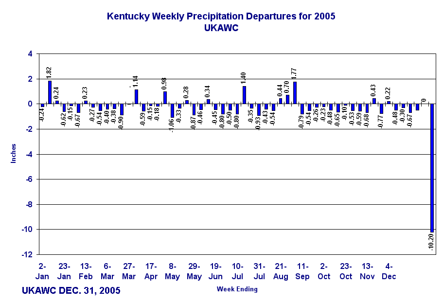
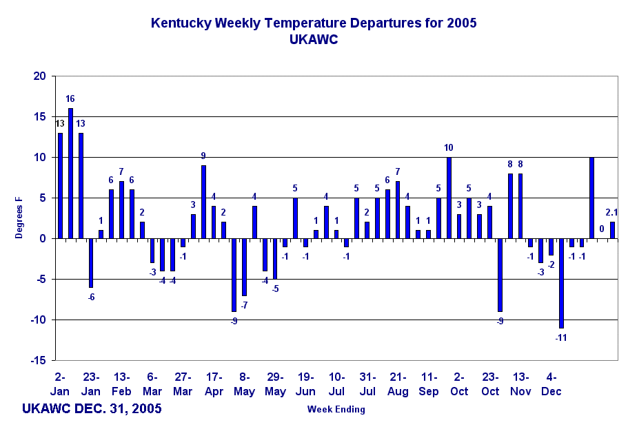
Kentucky Climate Summaries:
Last 3 days,
7 days,
14 days,
21 days,
30 days
Yesterday's Weather Data, Kentucky Climate Analysis, Kentucky Climate in Review (2005)
GIS ESTIMATES not available
The ALMANAC file is not available
Sunrise/Sunset/Moonrise/Moonset Computation (USN)
TEMPERATURE is not available
Yesterday's U.S. Highs,
Lows ,
KY's Highs/Lows/Precip,
Daily Weather Data,
Hourly Weather Data
Historical Weather And Climate Facts For Today
The Historical Fact file is not available
UKAWC Briefing Page

Ag Weather Center, Department of Biosystems & Agricultural Engineering, University of Kentucky
|


