
NWS Louisville Radar - Alt. Radar
![Current Satellite Loop]](http://iwin.nws.noaa.gov/iwin/images/ecirloop.gif)
SPC Day 1 T-storm Outlook

Click Here for Tomorrow's Severe Weather Outlook
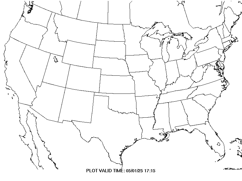
NWS Severe Thunderstorm Watches and Warnings drawn in BLUE
NWS Tornado Watches and Warnings drawn in RED
|
NWS Watches and Warnings
|
WEST -
CENTRAL -
EAST -
National NWS Louisville Radar - Alt. Radar SPC Day 1 T-storm Outlook Click Here for Tomorrow's Severe Weather Outlook |
|
|
Click Image to Enlarge NWS Severe Thunderstorm Watches and Warnings drawn in BLUE NWS Tornado Watches and Warnings drawn in RED |