| ||||||||||||
| ||||||||||||
A joint service of the UK Ag Weather Center and the National Weather Service.
Click here for UKAWC Point Agricultural, Lawn & Garden Forecast/Outlook in case of corrupt tables. Regional Hourly Observations For MASON County Issued at 500 PM CDT WED MAY 08 2024 CENTRAL ILLINOIS CITY SKY/WX TMP DP RH WIND PRES REMARKS PONTIAC PTSUNNY 80 45 28 SE15 29.66F TC 27 BLOOMINGTON PTSUNNY 74 52 46 SE17 29.66F TC 23 DECATUR LGT RAIN 69 61 75 E10 29.61F TC 21 PEORIA MOSUNNY 80 47 31 SE13G20 29.62F TC 27 LACON* MOSUNNY 79 47 31 SE10G20 29.63F TC 26 LINCOLN* CLOUDY 73 56 54 SE10G16 29.63R TC 23 SPRINGFIELD NOT AVBL TAYLORVILLE CLOUDY 69 58 68 E12 29.58F THUNDER TC 20
Current Agricultural Weather Conditions in Illinois Based on observations at 500pm CDT, Wednesday May 08, 2024 Across Illinois...temperatures are near 80 degrees north, near 69 degrees central, and near 73 degrees south. Current sky conditions are mostly sunny north, light rain central, and partly sunny south. In the north, relative humidity is near 30%, and the dew point is near 46 degrees. In the central part of the state, relative humidity is near 75%, and the dew point is near 61 degrees. In the south, relative humidity is near 81%, and the dew point is near 67 degrees. The livestock heat stress category is no stress north, no stress central, and no stress south. Winds are from the southeast at 8 mph north, where conditions are favorable for spraying. Winds are from the east at 10 mph central, where conditions are not favorable for spraying due to light rain. Winds are from the southeast at 6 mph south, where conditions are favorable for spraying. Based on current available observations, the highest temperature is 82 degrees at Metropolis. The lowest temperature is 10/ degrees at Northerly Island.
Current NOWCAST not available: Nowcasts are not issued routinely during fair weather. Only when precipitation or other significant weather is occuring in this county will these forecasts be issued. Currently, there is no short term forecast in effect. Hazardous Weather Outlook For MASON County,IL 252 PM CDT Wed May 8 2024 DAY ONE Tonight. There is a marginal to slight risk (level 1 to 2 of 5) of severe weather for much of central IL this afternoon and evening. Isolated damaging wind gusts and hail are the main risks, although an isolated tornado cannot be ruled out south of I-70. DAYS TWO THROUGH SEVEN Thursday through Tuesday. Flooding on portions of the Illinois River will continue for several days. SPOTTER INFORMATION STATEMENT Spotter activation may be needed from until to 11 pm.
7-Day Forecast For MASON County, IL 436 PM CDT Wed May 8 2024 TONIGHT THURSDAY THURSDAY NIGHT FRIDAY FRIDAY NIGHT SATURDAY AND SATURDAY NIGHT SUNDAY SUNDAY NIGHT MONDAY AND MONDAY NIGHT TUESDAY AND TUESDAY NIGHT WEDNESDAY
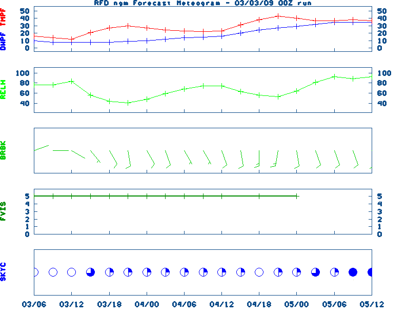
Medium & Long Range Outlook For Illinois
                             ILLINOIS
                 ---------------------------------------------
                 6 TO 10 DAY  8 TO 14 DAY   30 DAY    90 DAY
                   MAY 14-18    MAY 16-22    JUN       JUN-AUG
                 -----------  -----------  --------  ---------
   Temperature:      Above        Above
 Precipitation:      Above        Above

....  Medium and long range outlooks provided by NCEP/K. Thomas Priddy
Almanac Information Wednesday May 08, 2024 the 129th Day of Year --------------------------------------------------- SUN Declination 17.500000 Distance 0.999717 AU Rise 06:50 EDT Set 21:01 EDT Transit Meridian 13:55 EDT Civil Twilight Begins 06:21 EDT Ends 21:30 EDT Calculations made for central point in the state. Time in ET -- and will vary due to location and elevation -- Priddy Historical Weather And Climate Facts For Today ///////////////////////////////////////////////////////////////////// MAY 8TH...HISTORIC WEATHER EVENTS ...1784... A deadly hailstorm in South Carolina hit the town of Winnsborough. The hailstones, measuring as much as nine inches in circumference, killed several persons, and a great number of sheep, lambs and birds. (David Ludlum) ...1803... A freak spring storm produced heavy snow from southern Indiana to New England. The storm made sleighing possible in Massachusetts, but also ruined shade trees in Philadelphia. (David Ludlum) ...1895... A light rainshower in Winnipeg dropped a mixture of rain and black ants on the city. Most of the black ants were the size of huge wasps. ...1981... The Dallas/Fort Worth area experienced its worst hailstorm of record as baseball to grapefruit size hail, accompanied by 100 mph winds, caused nearly 200 million dollars damage. Hail accumulated eight inches deep at Cedar Hill TX. (The Weather Channel) ... 2003... A tornado (F0) occurred in Breckinridge County along a one mile long path. Numerous adult trees were uprooted in the Hoosier National Forest by an F1 tornado in Perry County. (NWS Louisville)
Ag Weather Center, Department of Biosystems & Agricultural Engineering, University of Kentucky | ||||||||||||


![[2nd Source TWC]](http://maps.weather.com/images/maps/current/curwx_720x486.jpg)