| ||||||||||||
| ||||||||||||
A joint service of the UK Ag Weather Center and the National Weather Service.
Click here for UKAWC Point Agricultural, Lawn & Garden Forecast/Outlook in case of corrupt tables. Regional Hourly Observations For JASPER County Issued at 800 AM CDT SAT APR 20 2024 SOUTHEAST ILLINOIS CITY SKY/WX TMP DP RH WIND PRES REMARKS LAWRENCEVILLE SUNNY 46 29 51 N13 30.30R TC 8 FLORA* SUNNY 46 36 66 N7 30.32R TC 8 FAIRFIELD* MOSUNNY 46 34 62 N8 30.32R TC 8 CARMI* SUNNY 50 35 56 N14 30.30S TC 10
Current Agricultural Weather Conditions in Illinois Based on observations at 800am CDT, Saturday April 20, 2024 Across Illinois...temperatures are near 38 degrees north, near 42 degrees central, and near 47 degrees south. Current sky conditions are mostly sunny north, sunny central, and not available south. In the north, relative humidity is near 55%, and the dew point is near 23 degrees. In the central part of the state, relative humidity is near 50%, and the dew point is near 25 degrees. In the south, relative humidity is near 60%, and the dew point is near 34 degrees. Winds are from the west at 15 mph north, where conditions are not favorable for spraying due to strong winds. The wind chill is near 29 degrees north. Winds are from the northwest at 9 mph with gusts at 23 mph central, where conditions are not favorable for spraying due to strong winds. Winds are variable at 7 mph south, where conditions are not favorable for spraying due to not available. Based on current available observations, the highest temperature is 280/ degrees at Northerly Island. The lowest temperature is 35 degrees at De Kalb.
Current NOWCAST not available: Nowcasts are not issued routinely during fair weather. Only when precipitation or other significant weather is occuring in this county will these forecasts be issued. Currently, there is no short term forecast in effect. Hazardous Weather Outlook For JASPER County,IL 516 AM CDT Sat Apr 20 2024 DAY ONE Today and tonight. No hazardous weather is expected at this time. DAYS TWO THROUGH SEVEN Sunday through Friday. Minor flooding will continue along the Wabash River for several more days. Otherwise, no hazardous weather is expected at this time. SPOTTER INFORMATION STATEMENT Spotter activation is not anticipated tonight.
7-Day Forecast For JASPER County, IL 837 AM CDT Sat Apr 20 2024 REST OF TODAY TONIGHT SUNDAY SUNDAY NIGHT MONDAY MONDAY NIGHT TUESDAY TUESDAY NIGHT WEDNESDAY AND WEDNESDAY NIGHT THURSDAY THURSDAY NIGHT FRIDAY
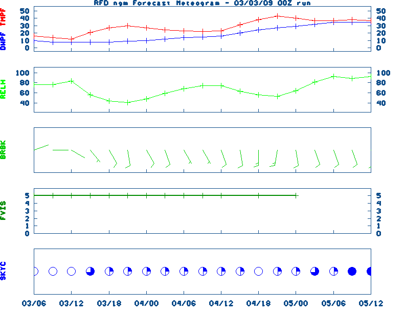
Medium & Long Range Outlook For Illinois
                             ILLINOIS
                 ---------------------------------------------
                 6 TO 10 DAY  8 TO 14 DAY   30 DAY    90 DAY
                   APR 25-29 APR 27-MAY 3    JUN       JUN-AUG
                 -----------  -----------  --------  ---------
   Temperature:
 Precipitation:

....  Medium and long range outlooks provided by NCEP/K. Thomas Priddy
Almanac Information Saturday April 20, 2024 the 111th Day of Year --------------------------------------------------- SUN Declination 12.040000 Distance 0.999719 AU Rise 07:13 EDT Set 20:44 EDT Transit Meridian 13:57 EDT Civil Twilight Begins 06:45 EDT Ends 21:11 EDT Calculations made for central point in the state. Time in ET -- and will vary due to location and elevation -- Priddy Historical Weather And Climate Facts For Today APRIL 20TH HISTORIC WEATHER EVENTS ...1901... A spring storm produced unusally heavy snow in northeast Ohio. Warren received 35.5 inches in thirty-six hours, and 28 inches fell at Green Hill. Akron OH established April records of 15.6 inches in 24 hours, and 26.6 inches for the month. Pittsburgh PA established April records of 12.7 inches in 24 hours, and 13.5 inches for the month. (David Ludlum) (The Weather Channel) ...1920... Tornadoes in Mississippi and Alabama killed 219 persons. (David Ludlum) ...2002... An unseasonably warm and moist air mass had settled across eastern Kentucky leading to record breaking temperatures at the Jackson Weather Office and the London Corbin Airport between the 16th and 21st of April. Jackson saw several days in a row with record high temperatures as well as maximum low records. On the 19th the mercury soared to a record high of 89 degrees at Jackson and a record tying 87 degrees at London. The low temperature at Jackson was a balmy 69 degrees good enough for a daily as well as a monthly maximum low temperature record. (NWS Jackson)
Ag Weather Center, Department of Biosystems & Agricultural Engineering, University of Kentucky | ||||||||||||


![[2nd Source TWC]](http://maps.weather.com/images/maps/current/curwx_720x486.jpg)